
Pittsfield Neighbors: Block Record Sources
One source rarely answers every question about a Pittsfield Township block. Start with the map to identify the parcels that share a line or frontage, then open each county parcel report. The county record can describe a taxpayer or mailing recipient, while the Register of Deeds may identify parties to a recorded transaction. Historic directories can add a dated address clue. Each is evidence of a distinct relationship, not a combined roster of your neighbors.
| Source | What it shows about a block | Access |
|---|---|---|
| MapWashtenaw | Adjacent parcel geometry, aerial imagery, zoning, and map layers | Public viewer; reference only |
| Washtenaw Parcel Lookup | Parcel address, municipality, taxpayer, class, assessment, and sales fields | Public search with local-data disclaimer |
| Pittsfield maps and zoning | Road, boundary, project, voting, school, and zoning context | Township links and PDFs |
| Register of Deeds index | Recorded transfers that affect a nearby parcel | Public index lead; copy or login limits |
| QVF request | Defined public registration or history fields for a requested scope | Written state request; protected fields excluded |
| AADL directory material | Historical address or occupant entries from a publication year | Digitized and archive material; OCR and coverage gaps |
Parcel lines are a better first filter than a surname. They reduce the risk of blending nearby properties that use the same road name but sit in a different municipality or carry a different postal line.
Map First for Pittsfield Neighbors
MapWashtenaw supports the map-first, record-second method. Search for the target parcel or address, zoom until parcel lines are visible, and identify the parcels that share a boundary or street frontage. If the viewer offers a query, measure, or selection tool, record the tool and source date with the result. Treat a buffer as a map selection, not as a legally defined neighborhood boundary.
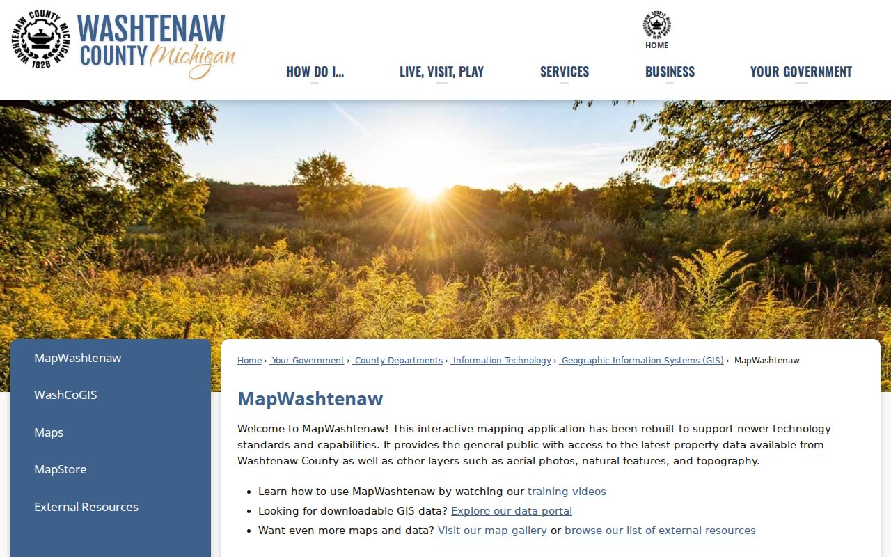
The GIS view supplies the geometry that keeps a neighbor search anchored to the right parcels. It does not establish title, ownership, or the people who live at a property.
MapWashtenaw describes parcel, aerial, natural, topographic, and other GIS layers, but the text capture did not expose every live search label. The county warns that layers may have spatial, attribute, currency, completeness, projection, calculation, or representation errors. Confirm a disputed line with the assessor, recorded document, or survey.
Following a Pittsfield Neighbor Parcel Trail
After the map view identifies the surrounding shapes, move through the record chain in the same order each time. This keeps nearby Pittsfield Township neighbors from becoming a loose list of names and lets a reader distinguish a property role from a current household claim.
- Locate the target parcel by address or parcel ID and save its municipality, property address, and postal city/ZIP.
- Click or identify adjacent parcels and record each parcel ID before opening any county report.
- Open the county report for each ID. Preserve its taxpayer name and mailing address as tax-administration fields, separate from the situs address.
- Use a sales date, instrument, legal description, or party name as a lead to the Register of Deeds. Search both grantor and grantee spellings.
For a full road rather than the immediate block, the Pittsfield Township Street Directory follows the longer address-keyed chain. The block method stays focused on adjacent parcels and the local community context.
Pittsfield Block Parcel Reports
The Washtenaw Parcel Lookup accepts taxpayer name, parcel number, street number or range, street name without a suffix, direction, and a city/village/township selector. Use Township Of Pittsfield when that is the known jurisdiction. The report can show parcel number and status, property address and city/state/ZIP, municipality, school district, classification, taxpayer names, taxpayer mailing address, assessment year, SEV, taxable value, and PRE percentage.
The legal-description and sales reports add the legal description plus sale date, instrument, liber-page, sale price, and image lead. A taxpayer can be an owner or mailing recipient, not necessarily an occupant. A PRE percentage and a matching mailing address can be useful context, but neither should be recast as a public household roster.
Pittsfield Township’s Maps and GIS page also links parcel, zoning, transit, parks, projects, voting, school, and printable map material.
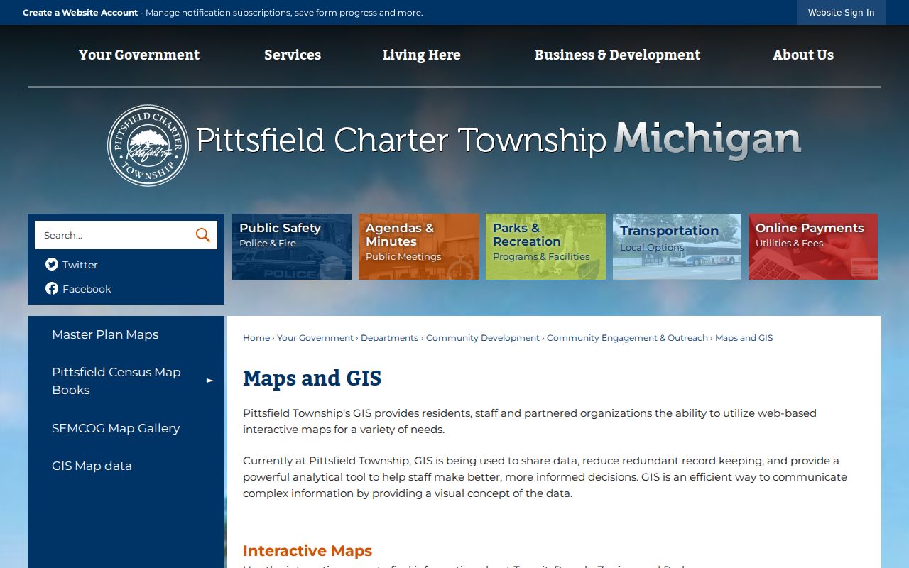
Township map links provide road and civic context around a parcel. They do not replace the county report or the deed record when a name or boundary needs verification.
Pittsfield Block Deed Leads
The Washtenaw County Register of Deeds is the next source for a recorded transaction near a target parcel. Begin with a current parcel and any sales-history lead, then search the grantor and grantee around the relevant date. Save the name as indexed, party role, instrument type, recording date, document number or liber-page, legal-description text, image status, and spelling variants tried.
The county’s index disclaimer says the index is a catalogue-style guide, not the instrument itself, and tells users to try spelling variants and added criteria. Its exact online start year was not located in official text. A missing index hit does not prove that no historic record exists. Older work can require archive tax, probate, plat, or land material.
Pittsfield Neighbors and QVF Requests
Michigan does not provide a public all-voters-by-street roster. The practical routes are a local Clerk question for an individual public-record issue or a defined Secretary of State Qualified Voter File request. A request can specify a State Registration File, Voter History file, inactive or permanent absent-voter category, cancellation file, jurisdiction, file date or period, and delivery method. Large files may use encrypted physical media, pickup, or arranged FTP rather than ordinary email.
Public request descriptions include name, year of birth, gender, address, jurisdiction, precinct, and absentee or military status in the registration file. Voter-history material can include voter ID, jurisdiction, school district, and election date, never ballot choice. Driver-license or state-ID numbers, month and day of birth, phone, email, declined-registration data, and receiving-office identity are excluded. A defined file is not permission to republish a block list.
Pittsfield Neighborhood Association Records
Subdivision names can help place a parcel, deed, zoning item, or historic address. Association pages are useful for governing documents and civic contact paths, not for identifying members or occupants. No public member roster was located for the Pittsfield Township associations below, and each name should be checked against a parcel or map before it is treated as a location clue.
| Association | Public material located | Boundary and membership limit |
|---|---|---|
| Briar Hill HOA | Association information and documents; a volunteer board and management arrangement | Established in 1994 with 180 single-family homes; no public member directory |
| Boulder Ridge HOA | Handbook, bylaws, resolutions, contact form, and PO box | No public member list located |
| Warner Creek HOA | Resident guide, governing documents, and local-resource material | Exact municipal boundary and individual membership were not independently verified |
Association documents can clarify a subdivision name in the record trail. They cannot support an inference that a named person is a member, officer, or resident unless a dated official document says so.
Pittsfield Neighbors in Community Context
The township community page is a safer civic layer than a private block list. It links public engagement, maps, master-plan material, schools, events, parks, and community resources. Township information directs Neighborhood Watch inquiries to the Community Coordinator at 734-822-4959. The historical society, Historic District Commission, cemetery volunteers, and AADL local-history programs can help interpret a road, farm, photograph, or institution without turning their participants into a roster.
Community links are useful for public notices and place history. They should not be used to copy private contact forms, dues data, subscriber information, or nonpublic member details.
Pittsfield Neighbors Across Postal Lines
Pittsfield Township is a municipal boundary, while ZIP codes and postal cities are delivery labels. Official township-linked addresses use Ann Arbor, Ypsilanti, and Saline postal cities. Keep municipality, postal city, state, ZIP, and parcel address in separate fields. A shared ZIP does not make an address part of the City of Ann Arbor or City of Ypsilanti, and a mailing-city label should not erase the township record.
The 2025 zoning map identifies major reference roads including Michigan Avenue, Packard Road, Washtenaw Avenue, Ellsworth Road, Platt Road, Carpenter Road, Textile Road, Morgan Road, and Stone School Road. It provides a dated geographic frame, not a legal survey. For a specific delivery question, compare the postal lookup with the county municipality selector and parcel geometry.
Pittsfield Neighbors: Official Records Compared
Official sources and commercial neighbor tools serve different purposes. County, township, and state sources identify their custodian, scope, and limits. Commercial tools collect material from varied sources and may be incomplete, outdated, or detached from the underlying record. Use the official record to verify the relevant parcel, date, and relationship.
| Official record route | Commercial neighbor-tool category |
|---|---|
| Names the custodian, field labels, source date, and request route; it can be checked against a parcel, deed, or archive record. | May combine old and current material with variable accuracy; it does not replace the custodian’s source or prove occupancy. |
| Supports a narrow question, such as a recorded transaction, parcel connection, or historic directory entry. | Should never be used as a block roster or a reason to infer sensitive personal facts. |
Pittsfield Block Records by FOIA
For a missing permit, inspection, property-maintenance item, meeting packet, or dated administrative record, use the Pittsfield FOIA process. State the Michigan FOIA request, exact address or parcel, department, record type, date range, and preferred inspection or electronic format. The township form supports a description and location fields. A broad request for all records about a person is less precise and can trigger privacy, exemption, and cost problems.
MCL 15.235 sets a five-business-day response rule and permits a written extension of up to ten business days. The township says it will explain the nature of an unreasonably high search, review, separation, copying, or mailing cost. A redacted production or no-record response should preserve its scope and date rather than be treated as a hidden personal-data puzzle.
Privacy Limits for Pittsfield Neighbors
Household members, utility customers, delivery records, protected voters, and Address Confidentiality Program participants are not public block fields. The Michigan ACP gives eligible participants a designated address and mail-forwarding protection. Do not try to resolve a designated address through parcel, voter, licensing, court, or other data. Public availability in one index does not make every related personal detail appropriate to repeat.
When a source is relevant, retain the custodian, date, address as printed, relationship label, and any redaction or access limitation. That small record trail is more reliable than assembling a profile from unrelated systems.