
Pittsfield Township ZIP Code Directory Coverage
The official evidence supports a careful ZIP code directory, not a finished boundary map. Pittsfield's 2019 customer survey offered 48197, 48108, 48103, 48176, 48160, and Other as response choices. Official township-linked addresses provide examples for four of those ZIPs. Each row below is an evidence-led starting point. Every private or parcel address still needs USPS and county verification.
| ZIP | Areas Covered | Post Office | Notes |
|---|---|---|---|
| 48103 | Pittsfield-linked north or west addresses are possible | Ann Arbor postal city example | Pittsfield Branch is at 2359 Oak Valley Dr, Ann Arbor |
| 48108 | Central or eastern township example | Ann Arbor postal city example | Township administration is at 6201 W Michigan Ave, Ann Arbor |
| 48160 | Survey response option only | Not confirmed by a township parcel example | Research gap, verify address by address |
| 48176 | Southern or rural postal example | Saline postal city example | Harwood Heritage Farm is at 6356 E Michigan Ave, Saline |
| 48197 | Eastern or southeastern postal example | Ypsilanti postal city example | Textile polling address is in Ypsilanti; it is not a municipality finding |
| Other | Survey response option | Use USPS for the specific address | Preserve the source value before normalizing |
These postal lines overlap the township's public-facing geography. They do not establish that all addresses with the same ZIP are in Pittsfield Township, nor that every Pittsfield parcel uses one of these examples. That is why the municipal parcel check follows the postal lookup.
Pittsfield Township ZIP Code Postal Cities
USPS assigns a delivery ZIP and postal-city line. Washtenaw County's Parcel Lookup and the township assessor identify the municipality and parcel record. MapWashtenaw adds spatial context, while the township's maps and GIS collection supports zoning, road, voting, school, and project reference. None of those systems should be substituted for the others.
Use the USPS ZIP Code Lookup for a specific address. It supplies the postal answer that appears on mail.
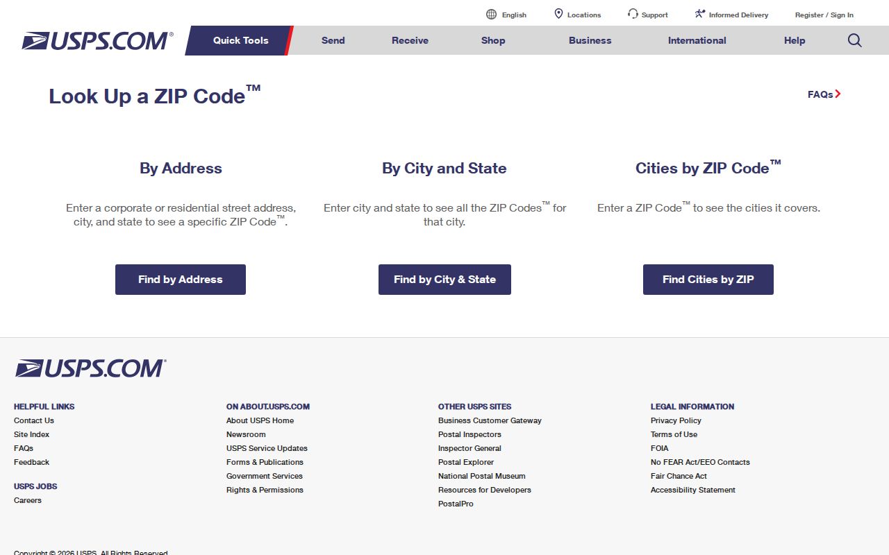
After USPS returns a postal city and ZIP, use the county parcel municipality field to determine whether the address belongs in Pittsfield Township records.
Pittsfield Township ZIP Code Examples
Four official addresses make the local mismatch plain. Pittsfield Branch of Ann Arbor District Library uses Ann Arbor 48103. Township administration uses Ann Arbor 48108. An official election notice placed Precincts 8 and 9 at 4377 Textile in Ypsilanti 48197. Harwood Heritage Farm uses Saline 48176. The first two examples sit in the township's own local services; the others demonstrate that a postal city cannot settle municipality.
48160 needs more caution. It appears in the official survey as a response option, but the research did not locate an active Pittsfield Township parcel example. Keep it as a survey-supported possibility, not a declared parcel run. The same approach applies to the survey's Other option: retain the entered source value, then verify with USPS and the county.
Pittsfield Township ZIP Code Parcel Fields
The Washtenaw Parcel Lookup does not have a captured ZIP-only search field. It instead lets a researcher find a parcel through an identifier, taxpayer name, street information, direction, and municipality. The resulting report can show property city, state, and ZIP alongside municipality, school district, taxpayer mailing fields, assessment data, legal description, and sale material. A taxpayer label is not an occupancy finding.
| Parcel Lookup field | Type | Required | Format or use |
|---|---|---|---|
| Parcel Number | Text | Optional | County 12-digit XX-XX-XX-XXX-XXX format |
| Taxpayer Name | Text | Optional | Last name first |
| Street Number / From / To | Text or number | Optional | Exact number or range |
| Street Name | Text | Optional | Enter the name without the suffix |
| Direction | Dropdown | Optional | Direction control; full option list was not captured |
| City/Village/Township | Dropdown | Optional | Select Township Of Pittsfield for a known township address |
The county's parcel report view shows the layered fields returned for a selected parcel.
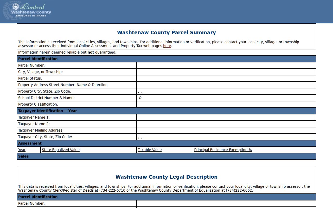
Compare the returned property ZIP with the municipality and legal-description fields rather than normalizing the entire record to a postal city.
Find a Pittsfield Township ZIP Code
Searching within one ZIP code is an address-normalization task, not a ZIP-wide resident list. Start with the full address. Then move from the postal result to the parcel record and its municipal field. If the aim shifts to a single street, the Pittsfield Township street directory uses the address-record chain in greater detail.
- Enter the complete address in the USPS lookup and retain the returned postal city and ZIP.
- Search the county parcel system by address, taxpayer, or parcel number and select Township Of Pittsfield when that municipality is already known.
- Compare property ZIP, municipality, parcel number, and legal description in the returned report.
- Use MapWashtenaw to orient the parcel, then verify a boundary or legal description with the assessor, deed, or survey when it matters.
- For election context, use jurisdiction and precinct records rather than assuming a ZIP code is a voter boundary.
Michigan's QVF request material is organized by jurisdiction, precinct, file period, and defined dataset. It does not turn a ZIP into a voter boundary, and protected fields remain excluded from public access.
Pittsfield Township ZIP Code Terms
Postal terms are useful only when their limits are clear. Parcel systems and deeds use different location labels, so save the exact printed field along with the source and retrieval date.
- ZIP versus ZIP+4
- A ZIP identifies a broader delivery area. ZIP+4 adds a smaller delivery segment for a more precise mail address.
- PO-box ZIP
- A PO-box ZIP is assigned for post-office boxes and does not necessarily describe nearby street-delivery parcels.
- Unique ZIP
- A unique ZIP serves a single institution or large recipient. The research did not establish one for Pittsfield Township.
- Carrier route
- A carrier route is a mail-delivery grouping within a ZIP. It is not a municipal boundary or parcel ownership record.
Pittsfield Township ZIP Code Map Reference
The township's Maps and GIS resources and the Pittsfield zoning map supply a local road and boundary frame. The zoning PDF is version 2025.02.2510, effective March 12, 2025. It identifies major roads including Michigan, Packard, Washtenaw, Ellsworth, State, Platt, Carpenter, Textile, Morgan, and Stone School roads.
That map is a dated land-use reference, not an E911 address authority or a legal survey. MapWashtenaw warns that layers can carry spatial, registration, attribute, currency, completeness, projection, calculation, and representation errors. Check an important boundary or legal description with the assessor, deed, or survey.
Note: The map's effective date belongs with any ZIP code research note because road, boundary, and zoning references can change.
Pittsfield Township ZIP Code Geography History
Modern mail labels also sit on top of older municipal geography. Pittsfield began as the Township of Pitt in 1834, was renamed Pittsfield Township in 1839, and became a charter township in 1972. Township-hosted historical material says portions were annexed to Ann Arbor in the 1960s and 1970s, but the research did not locate an exact annexation-by-road chronology.
For an older address, compare the original township or postal wording with a plat, directory, deed, and dated map. Do not silently convert a historical Pittsfield Township entry into Ann Arbor or Ypsilanti just because a current postal line uses that name. The 1872 directory also warned about duplicate house numbers and unnamed streets, another reason to retain the original address text.
Pittsfield Township ZIP Code Directory Limits
A ZIP code directory can organize public address research, but it cannot determine municipal jurisdiction, legal title, current occupancy, or a person's identity by itself. Postal addresses, parcel identifiers, municipal fields, and legal descriptions should remain separate. A county report can have a taxpayer or mailing address that differs from the property address. A mapping layer can orient a search without proving a boundary.
When a result conflicts, return to the custodian that owns the question: USPS for delivery, Washtenaw Parcel Lookup and the assessor for municipality and parcel data, the Register of Deeds for recorded documents, and a survey or legal record for a boundary question. Record the source date and any unresolved discrepancy.