
Pittsfield Township Previous Residents Sources
Previous residents of a Pittsfield Township property become easier to place when the source fits the period. Current parcel records and recorded documents help establish the land trail. Directories and census schedules help identify a dated household. Archive guides add tax, probate, plat, cemetery, and rural-property sources where the web index does not reach. None of these sources proves every part of a person's connection to an address, so compare the legal description, date, municipality, and printed role before joining two entries.
| Source | Years It Covers | Where Held | What It Shows |
|---|---|---|---|
| Register of Deeds online index | Exact online start year not confirmed | Washtenaw County Register of Deeds portal | Recorded parties and instrument leads; copies may need an account or payment |
| Pittsfield rural property inventories | 1938 | Archives of Michigan, RG 70-87 | Rural property and owner or parcel context |
| County tax records | 1830-1871, 1900, 1920, 1940 | Archives of Michigan Washtenaw guide | Taxpayer, parcel, or assessment-era context |
| AADL city and county directories | 1868-2001, with gaps and changing runs | AADL online directories and Local History | Names, roles, household notation, residence, boarding, township, or route clues |
| Federal census | 1830-1950 public schedules | National Archives and research partners | Household, age, birthplace, address, and schedule-specific fields |
| Plat books and Sanborn material | 1930 plat; 1957 forward material; nearby map years vary | Library of Michigan, AADL, and Library of Congress | Road, lot, structure, and legal-description crosswalks |
Begin with the current parcel when the address is known. Begin with a dated directory or census entry when a historical name is known. The results should be written as roles, such as recorded grantee or directory entry, instead of being converted automatically into an occupancy claim.
Start Pittsfield Township Previous Residents With a Parcel
The county parcel record is the practical first stop for a current address. The Washtenaw County Parcel Lookup can show the parcel number, municipality, property address, postal city, taxpayer and mailing fields, assessment information, legal description, and sales-history lead. Retain the full parcel identifier as displayed. A mailing field can point outside Pittsfield Township, and a taxpayer field is not a household list.
Capture the legal description and latest sale before looking for earlier parties. A legal description follows the land through an old road name, a renumbering, a split, or a combination more reliably than a street number alone. The Pittsfield Assessing page and BS&A route are useful when an assessment or property-record question needs local context. The research did not establish an official historic cutoff for permit details, so do not assume a complete online construction record exists.
Note: Keep the municipality separate from the postal city because Pittsfield-linked material can use Ann Arbor, Ypsilanti, or Saline postal lines.
Pittsfield Previous Residents Through the Deed Chain
The Washtenaw County Register of Deeds supplies the county route for recorded land documents. Move backward from the present parcel and latest sale, rather than starting with an unsupported surname. A deed shows a recorded transaction and named party. It does not, on its own, prove that a person lived at the property. The comparison point at every turn is the legal description, parcel history, and recording date.
- Retrieve the current parcel, legal description, and sales-history lead from the county record.
- Use the latest sale date and current or historical party name in the Register of Deeds index to find the recorded instrument.
- Save the indexed grantor, grantee, instrument type, recording date, document number or liber and page, legal-description text, and image or copy status.
- Search the seller as an earlier grantee, then compare the earlier instrument's land description with the later one.
- Repeat the process backward, pausing for a plat, tax record, probate estate, or archive request when the parcel identity changes.
- Grantor and grantee
- The grantor transfers an interest in recorded land; the grantee receives that interest. Both are recorded-party labels, not residence labels.
- Chain of title
- A dated sequence of recorded transactions tied to the same land description. A complete chain requires checking each link, not merely finding matching surnames.
- Legal description
- The lot, subdivision, section, metes-and-bounds, or other land wording in the record. It is the key bridge when a street address changes.
Pittsfield Previous Residents in the Deed Index
The online Register of Deeds index begins with a disclaimer and functions as a catalogue for recorded documents, not the document itself. The county advises searchers to try spelling variants and additional criteria. Use a middle initial, abbreviated first name, former or married surname, “et al,” trust or entity name, township, and postal-place variants where appropriate. An account or login may be required to purchase a copy.
A search screen for the recorded-document index is the access point for the grantor and grantee trail.
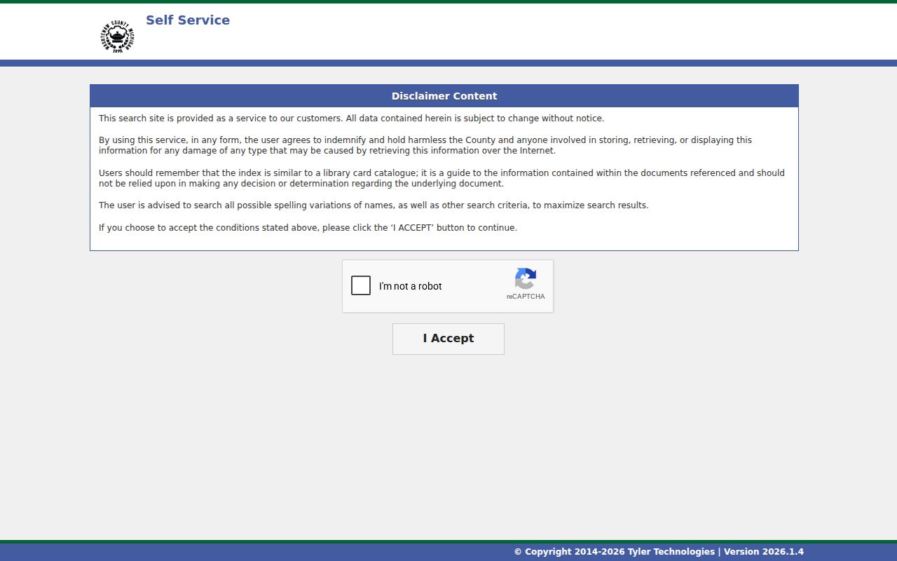
The resulting index entry remains a finding aid. Record the exact indexed spelling, instrument, date, document number or liber and page, legal-description text, copy state, and each search variation. The exact online start year, complete historical coverage, and current copy fees were not located in the official text capture, so older work may require an in-person visit or a written county records request.
Pittsfield Township's 1938 Property Inventory
When the online index cannot carry a title trail far enough, the Archives of Michigan county guides identify sources that can bridge the gap. The Washtenaw guide lists Pittsfield Township rural property inventories from 1938 in RG 70-87. It also identifies tax records from 1830 through 1871, plus 1900, 1920, and 1940, along with probate and land-related resources. These are period sources with their own fields and gaps, not a ready-made occupancy roster.
The Library of Michigan Washtenaw guide points to county directories, land atlases, and plat books, including a 1930 plat and material from 1957 forward. Compare an old legal description with a plat or tax source before applying it to a modern street number. That extra check is especially important where farm, route, township, or old-road wording survives.
Pittsfield Previous Residents in Directories and Census
Recorded ownership is only one part of a previous-resident search. A dated directory or census schedule can add household context, but each source records a different kind of fact. AADL has full-text Ann Arbor and Washtenaw directory material from 1868 through 2001. Its Local History collection and Archives research route are the right follow-up when an item is not openly digitized. The full collection history and entry notation are available through the Pittsfield Township city directory record.
The AADL Archives research service offers staff-assisted search and scan help for local-history material.
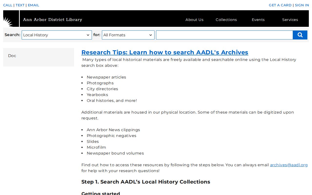
Local-history staff assistance is useful when a directory, newspaper, map, or archive item needs to be read in its original context rather than guessed from an incomplete search result.
- Choose a directory year close to the deed or tax date and save the printed name, role, address, route, township, and page.
- Check nearby directory years for moves, changed household notation, or a missing entry.
- Search the nearest public federal census through the National Archives, using township and ward geography as well as the name.
- Compare the address or route wording, household composition, and date before treating the directory and census entries as the same household.
- Add a cemetery, obituary, probate, map, or tax record only when it supplies an independent time-and-place anchor.
The public census reaches 1950 as of the research date. The 1890 census is largely unavailable after a 1921 fire, making nearby directories and county material more important for that period.
Pittsfield Address Names and Boundaries
Address continuity is a local research problem. The 1872 directory preface warns of duplicate house numbers, unnamed streets, and uneven address precision. Later sources may use a route, farm, township, or postal place. Pittsfield-linked records can carry Ann Arbor, Ypsilanti, or Saline postal cities, so the postal line should not be treated as the municipality. Preserve the historical text in one field and any later interpretation in another.
A parcel split, combination, annexation context, or address change can interrupt an apparent chain. Use a legal description, plat, tax inventory, or map to make the bridge. If the bridge cannot be documented, describe the two records as a possible lead rather than as a continuous history.
Pittsfield Structures, Maps, and Permits
Maps can date a structure or identify a road and lot, but they cannot establish who lived there. The Library of Congress Sanborn material includes an Ann Arbor and Washtenaw 1925 map with related years 1888, 1892, 1899, 1908, and 1916. AADL reports Sanborn microfilm from 1888 through 1948. Coverage is incomplete for Pittsfield Township, so first confirm that a sheet includes the parcel or nearby area before using it as a building clue.
Building permits, inspections, utility hookups, code files, and property-maintenance records can add construction or alteration dates. Utilities are not a public customer directory. For a documented property question, request records from Pittsfield Building Services or use the township's FOIA route with a precise address, parcel, and date range. The detailed historic permit cutoff was not located in the research.
Pittsfield Previous Residents and Estate Endpoints
For an earlier household, a probate file, obituary, vital-index lead, or cemetery transcription can mark the end of an address trail. The Archives guide lists probate calendars from 1842 through 1941 and estate files from 1828 through 1940 in historic runs. It also lists birth indexes for 1914-1922, death indexes for 1867-1933, and marriage indexes for 1833-1934. Those indexes are leads rather than certificates, and their fields must be read from the record.
Harwood Cemetery supplies a particularly local endpoint: the township-hosted transcription covers 1825 through 1940, and the first burial is identified as 1824. A burial relationship, probate party, or obituary statement should still be paired with a dated directory, parcel, or census finding before being tied to a specific Pittsfield address.
Lawful personal use. Research on prior households is appropriate for family history, estate matters, house history, and personal curiosity. Do not use a historical trail to stalk, harass, or harm any living person.