
Tracing a Pittsfield Street Directory Trail
For a current Pittsfield Township address, begin with the county record rather than a name search. The result separates the physical property location from its postal line and identifies the municipality that holds the parcel. That distinction matters in a township where Ann Arbor, Ypsilanti, and Saline may appear in a mailing address. The record can support a careful street-by-street search, but it should always describe a person by the role shown, such as taxpayer, recorded grantee, or historical directory entry.
- Enter the address in the Washtenaw Parcel Lookup with the street number or range, name, direction, and Township Of Pittsfield. Save the parcel ID, municipality, situs address, and postal city line exactly as returned.
- Read the taxpayer or owner-associated field as a tax-record label. Check its mailing address separately, because it can differ from the property address and does not automatically identify a resident.
- Open the sales-history and legal-description reports. Use the sale date, instrument, and liber-page or image lead to begin a recorded-document search.
- For a legally scoped election question, contact the Pittsfield Clerk or use the state QVF request route for a defined file, jurisdiction, and period. Michigan does not provide an unrestricted public roster of all voters on a street.
- For a past address, search AADL’s street or address sections, then try Pittsfield Township, farm, rural-route, and postal-city terms. Preserve the printed address rather than silently modernizing it.
That order keeps each claim tied to the right source. It also makes a later correction possible when a parcel has been split, combined, renamed, or assigned a different postal city.
Pittsfield Street Directory Parcel Fields
The county parcel form is the strongest starting point for a Pittsfield Township street directory because it permits an address-led search. It accepts taxpayer name and parcel number too, but the street controls are more useful when the aim is to follow a road one property at a time. Street Name is entered without a suffix, while the municipality selector should be used to distinguish Township Of Pittsfield from nearby cities and townships.
| Parcel Lookup field | Format or use |
|---|---|
| Parcel Number | Optional county identifier, displayed in a 12-digit pattern that may contain spaces. |
| Taxpayer Name | Optional last-name-first search; a result is a taxpayer record, not a residence finding. |
| Street Number / From / To | Optional exact number or range for a street segment. |
| Street Name | Optional name only, omitting a suffix such as St. |
| Direction | Optional direction control; the captured source did not publish every choice. |
| City/Village/Township | Optional selector that includes Pittsfield and other Washtenaw jurisdictions. |
A selected report can show the parcel and property address, property city/state/ZIP, municipality, school district, classification, taxpayer names and mailing line, assessment year, SEV, taxable value, and PRE percentage. Its legal-description and sales reports add a legal description plus sale date, instrument, liber-page, sale price, and an image lead. Those details support a property timeline, not a household list.
Pittsfield Addresses Through BS&A
BS&A’s Pittsfield Township landing page visibly offers Address, Name, and Parcel Number modes. Its linked services include detailed records, current tax records, property sales, assessing, building-department records, permit application, and inspection scheduling. Use the label on the result rather than assuming every route reports the same type of connection. Exact live assessing and building-field labels were not fully exposed in the captured source.
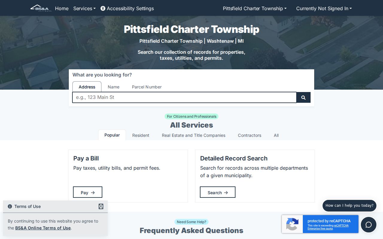
The visible choice of search modes is a practical reminder that an address, a name, and a parcel number are different starting points. A Pittsfield Township street directory search should retain which route produced each result.
BS&A’s separate property-sale search exposes date and price ranges, grantor and grantee fields, property class, floor area, year built, bedrooms, bathrooms, and a neighborhood filter. It can locate a sale lead near an address, but it is not a full chain of title.
Pittsfield Street Directory Record Coverage
Several records are keyed to an address, yet they answer different questions. Pair the county parcel report with the map and deed index rather than trying to read one source as a complete street directory. Where an older address is involved, the date of the record is as important as the name attached to it.
| Address record | What it can show | How to reach it | Key limit |
|---|---|---|---|
| County parcel card | Parcel, situs, postal city/ZIP, taxpayer mailing, class, assessment, and PRE | Street number/range, name, direction, and Township Of Pittsfield | Taxpayer is not necessarily the occupant |
| Assessing and BS&A | Assessment, tax, sale, permit, and inspection leads | Address, name, parcel, or detailed links | Live detail fields and historical coverage vary |
| MapWashtenaw | Parcel geometry, aerial, natural, topographic, zoning, and other layers | Viewer query and layer controls | Reference material, not a survey or title record |
| Register of Deeds | Recorded parties and instrument leads | Parcel/legal description plus grantor and grantee variants | Index is not the deed; copies may require login or payment |
| Township FOIA | Parcel-specific permit, inspection, Board of Review, code, or meeting records | Exact address or parcel and a narrow date range | Exemptions, redactions, and fees can apply |
| AADL directories | Historical occupant or address references in a publication year | Street/address terms and township, farm, route, or OCR variants | Rural entries may not use a modern street |
Use the parcel ID as the bridge between a current report, a map geometry, and the legal description. Use the street name as a locating aid, not as a reason to merge unrelated names that happen to share a road.
Pittsfield Streets on MapWashtenaw
MapWashtenaw supplies parcel geometry and layers for aerial imagery, natural and topographic reference, and other GIS material. Locate the target parcel, zoom to the relevant road segment, click adjacent shapes when needed, and then open the county report for every recorded parcel ID. A map label is not a substitute for the parcel record.
MapWashtenaw warns that its layers can contain spatial, registration, attribute, currency, completeness, projection, calculation, and representation errors. Validate a boundary or legal description with the assessor, a recorded instrument, or a survey. A buffer or selection is a useful map choice, not a legal definition of a block.
Pittsfield Street Directory Deed Leads
The Washtenaw County Register of Deeds is the primary route from a parcel’s sale line to an underlying recorded instrument. Start with the current parcel, then the sales date and instrument, then search the grantor and grantee names. Keep the indexed spelling, document type, recording date, document number or liber-page, parcel or legal-description text, and image or copy status together. Try middle initials, former surnames, trust or entity names, and postal-city variants.
The index disclaimer describes the system as a catalogue-style finding aid, advises spelling variations, and warns that data can change. The exact online index start year was not located in official source material. Do not assume that a blank result covers every historical Pittsfield Township transaction.
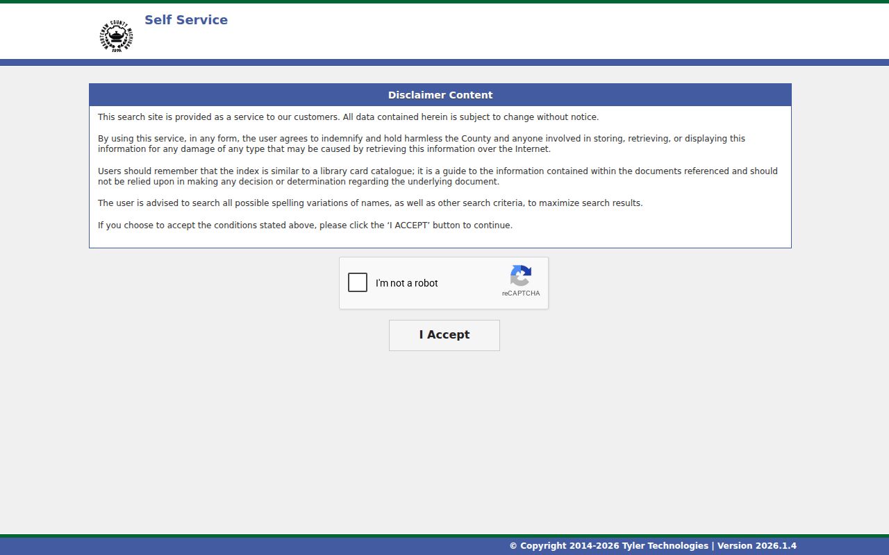
The disclaimer’s acceptance screen precedes a search route, while a document image or copy is the evidence to inspect next. A recorded party may be a grantor, grantee, trustee, mortgagee, or another role, and none alone establishes occupancy.
Pittsfield Sales Near an Address
BS&A’s property-sale search provides a second way to reach a transaction by grantor, grantee, sale date range, sale-price range, class, building features, or neighborhood. It is useful for finding a nearby sale after the address search has identified a parcel. Record the property class and filter used, because a broad neighborhood search can return more than one road.
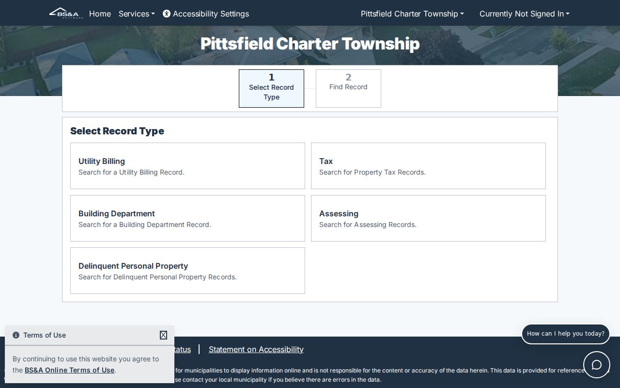
Sale filters create a lead that can be checked against the county sales report and the Register of Deeds index. They should not replace a comparison of the legal description and recorded image.
Pittsfield Street Records by Request
When a permit, inspection, maintenance file, Board of Review record, road-name record, or meeting packet is not published online, use the township’s FOIA route. A narrow request identifies Michigan FOIA, the department, record type, exact street address or parcel, and a date range. Ask for inspection or an electronic copy where practical and expect any required redaction to remain in place.
Michigan FOIA, MCL 15.231 et seq., requires a public body to respond within five business days, with a written extension of up to ten business days under MCL 15.235. Pittsfield says it will identify the nature of an unreasonably high search, review, copying, separation, or mailing cost. The local form also asks for a brief description, location street number and name, city, state, ZIP, and requester contact information.
Note: A focused request for a dated parcel file is more likely to be clear and manageable than a request for every record associated with a person.
Pittsfield Street Directory Postal Geography
Pittsfield Township and its postal lines are not the same geography. The township’s official locations include Ann Arbor, Ypsilanti, and Saline mailing cities, so a street directory entry should retain both municipality and postal city rather than using either as a substitute for the other. Search Township Of Pittsfield first in the county tool when that is the known jurisdiction, then use the postal city as a separate address clue.
The dated township zoning map also places recurring road names in context. Michigan Avenue, Packard Road, Washtenaw Avenue, Eisenhower Parkway, Ellsworth Road, State Street, Platt Road, Carpenter Road, Crane Road, Maple Road, Lohr Road, Textile Road, Morgan Road, and Stone School Road appear as major references. The map is useful for orientation, but it is not an address-assignment authority or legal survey.
Pittsfield Street Directory Terms
Address records use terms that look alike but carry different meanings. Keeping them separate avoids a common street-by-street error, especially where an older legal description and a current mailing line do not match.
- Parcel
- A county-tracked property unit. Store its displayed identifier exactly instead of deriving a lot or section meaning from the number.
- Situs address
- The physical property address shown on the record, distinct from a taxpayer’s mailing address.
- Plat
- A recorded plan of lots, streets, or subdivisions that can help bridge an old road name or legal description.
- Criss-cross directory
- An address-oriented directory section that can connect an address with an entry for its publication year.
Historic Pittsfield Street Addresses
AADL’s digitized directory collection reaches from 1868 through 2001 and is the proper historical layer after a current parcel trail. Search the street or address section where available, but also use Pittsfield Township, Pittsfield tp, farm, rural-route, and likely postal-city terms. The 1928 rural-route directory and county-oriented volumes matter because rural residents may not be listed under a modern street number.
The 1872 directory warns about duplicate house numbers and unnamed streets. That local quirk is a reason to preserve the original wording, abbreviation, page, and scan link before making a modern interpretation. The historical material is covered in greater detail in the Pittsfield Township Directory Book.
Limits of a Pittsfield Street Directory
A street record can identify a parcel, a taxpayer, a recorded party, or a dated directory entry. It does not publicly list every household member, utility customer, delivery recipient, protected voter, or person using a designated safety address. Michigan’s Address Confidentiality Program protects eligible participants with a substitute address and mail-forwarding service. A designated address must never be reconciled to a private residence.
When a claim matters, seek two independent anchors, such as a parcel and a dated deed, or a historical directory and an archive source. A no-result response or a redaction identifies the limit of a search, not a reason to reconstruct withheld information.